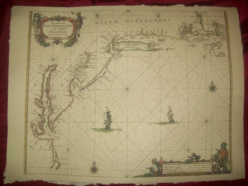
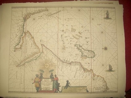
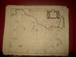
Replica 1666 Dutch Seachart of the Atlantic coast of America from Cape Cod to Cape Hatteras
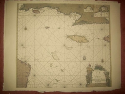
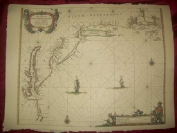
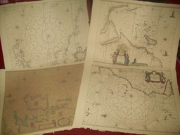
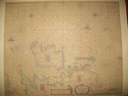
This is a replica of a 1666 Dutch seachart showing the Atlantic coast of America from Cape Cod to Cape Hatteras. The emphasis is on the Dutch colony of New Netherland. New Amsterdam (New York) is shown at the tip of Manhattan Island. Many other Dutch place names appear, including Staten Eylandt, Lange Eylandt, and Vlysingen (Flushing). Along the Delaware River a number of Dutch settlements are shown, including Fort Casimir, Nassau and Elsenburgh, as well as the Swedish Fort Christina. The Schuylkill River, future site of Philadelphia, is also shown.In New England, Martha's Vineyard and Nantucket are shown with their present names, and several early English settlements, such as New Plymouth are located. Excellent early delineation of the Chesapeake Bay, with Jamestown located. The Potomac River is shown as the Patwomeck.<br /><br />It is printed on period correct Linen and cotton rag laid paper.

Recommended Comments
There are no comments to display.
Create an account or sign in to comment
You need to be a member in order to leave a comment
Create an account
Sign up for a new account in our community. It's easy!
Register a new accountSign in
Already have an account? Sign in here.
Sign In Now